Day 2: We worked with four individuals from California State -East Bay and used Ground Penetrating Radar (GPR), shown below, to image the dune substrate (above photo). GPR works by sending FM radio waves into the earth and measuring their reflections.

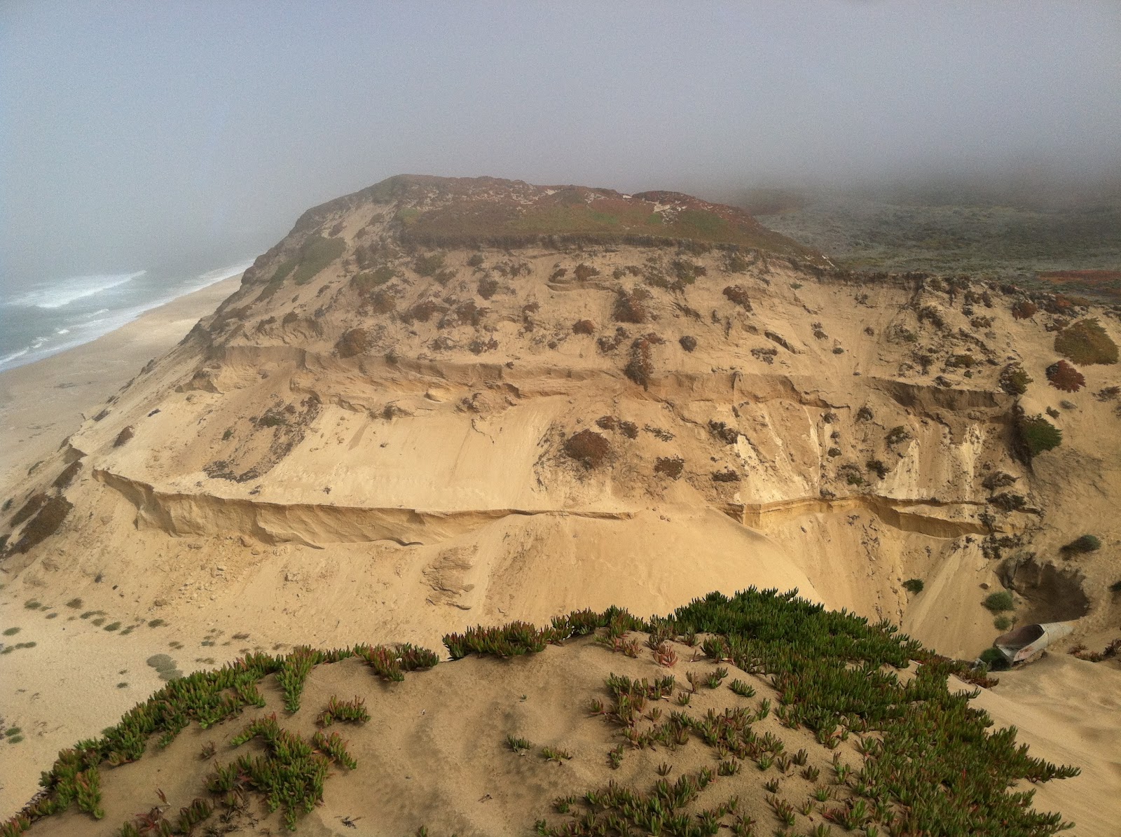
Our study area was the Fort Ord Dunes, a decommissioned military base. We ran one 200m transect from a bunker in the south west area of the dunes to the north east (below photo). This transect ran across a number of old military bunkers which will be interesting to see how they influence our results. It was perfect weather and we learned a ton!
No comments:
Post a Comment